Also available in:
Nederlands
GPS
Initially hiked for years with the combination of a separate GPS and a separate SOS. I wrote a whole piece about that in this report. Be sure to check out all the days because later in this adventure, on “Isle of Mull” (en route to the top of Ben More), there is a video where I explain how to navigate with a GPS.
When I ran the, wonderful!, Tour Mont Blanc Alpine in 2020, I had 11 days to think how nice it would be if this combined would be available in 1 device.
Probably that need existed more broadly because when I looked at the site when I got home, there was this fantastic device.
For all the options, be sure to check out Garmin’s website via the link below! What a top thing!!!

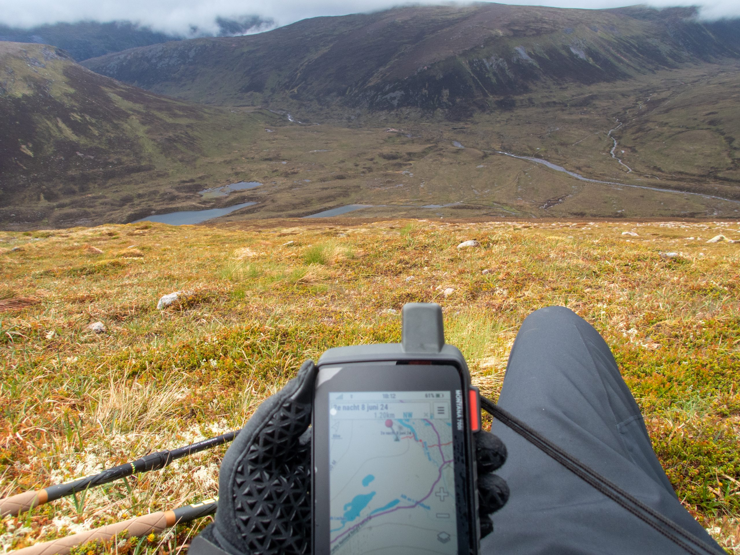
Search picture; look at the GPS screen and find where my tent is!
You see a “pin” on the screen which is where I started this day and where I left my tent.
My position is just not in this picture but is at the very bottom of the screen, right in the middle.
By the way, this day is described in this report / this day on Komoot and was part of this 10th Scottish Adventure which can be found via this link available on Komoot.

Weather forecast can be retrieved, via the sattelite so also without telephone connection which is the case 95% of the time.

